Yesterday I finished a three day bicycle tour of the Silver Comet and Chief Ladiga rail trails. The combined trails are a 95 mile paved route between Smyrna, Georgia and Anniston, Alabama. The entire round trip (starting at Georgia Tech in Midtown Atlanta rather than the actual trailhead) was about 215 miles.
There's a bunch of stuff I didn't photograph because I didn't feel like stopping. This includes lots of scenic vistas, farmland, parks and the entire town of Rockmart. That last one is unfortunate because Rockmart is the prettiest town along the route. A little river runs through the town and the trail goes along it, the entire strecth leading into and through the town is a riverfront park.
Here are the photos, click them to view in full resolution.
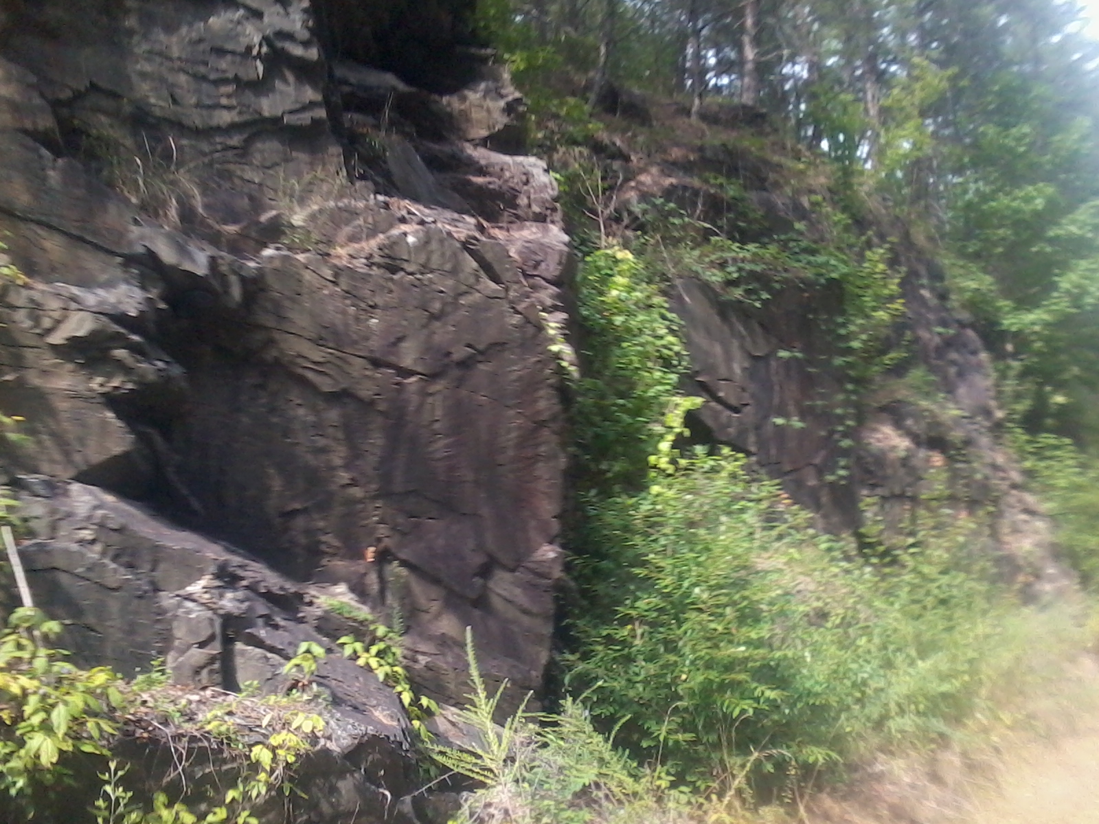
The path of the Silver Comet Railroad was roadcut (ravines were carved through the hills) to minimize elevation changes. These areas of the trail are pleasantly shady.
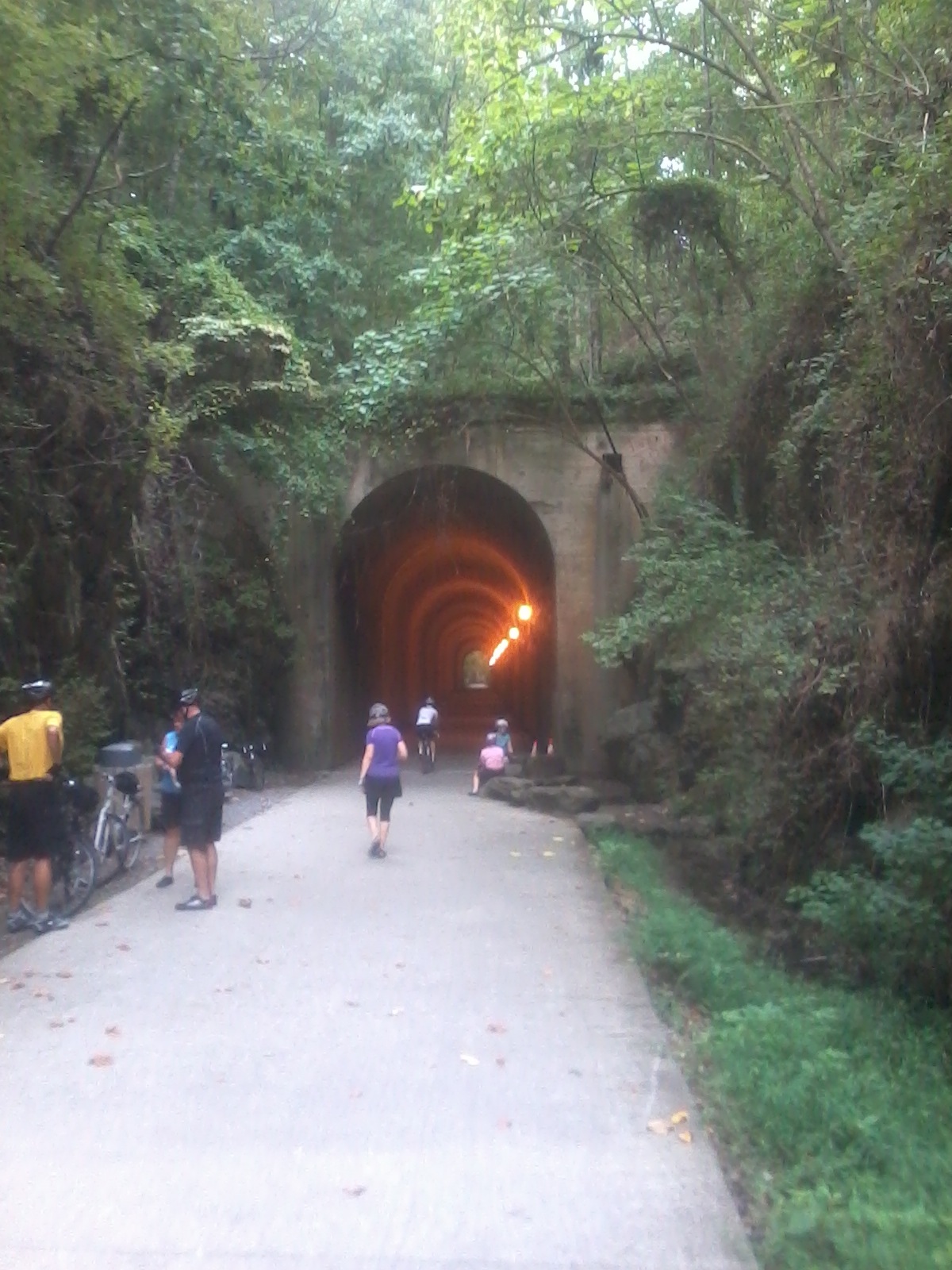
The Brushy Mountain Tunnel is big and echoey. Lots of riders use this as the halfway point of their rides. A round trip from the trailhead to here and back is almost exactly 100 kilometers. People who have more carbon fiber on their bicycles than I do call that a metric century.
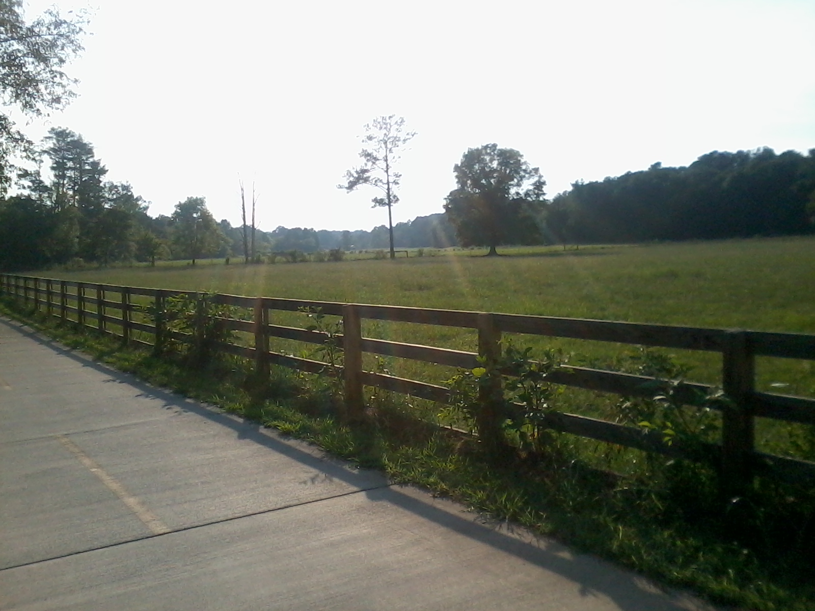
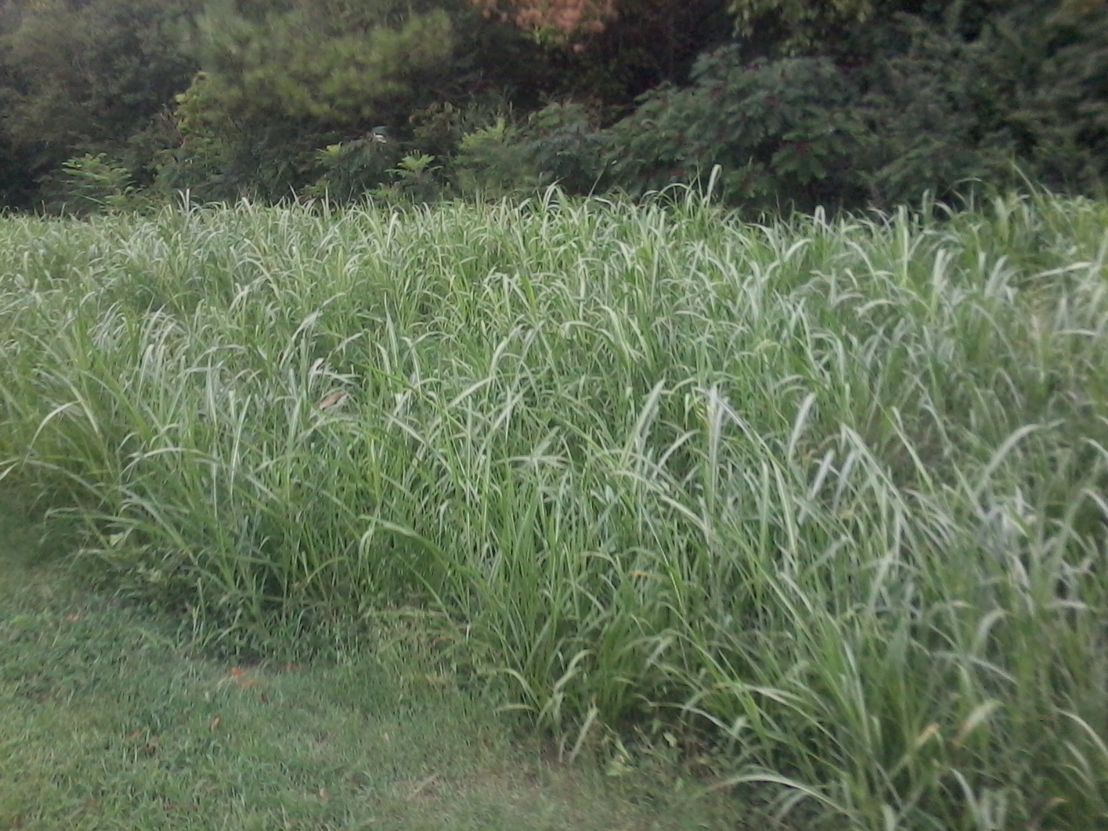
A pasture several miles west of Cedartown Georgia

Horsies!
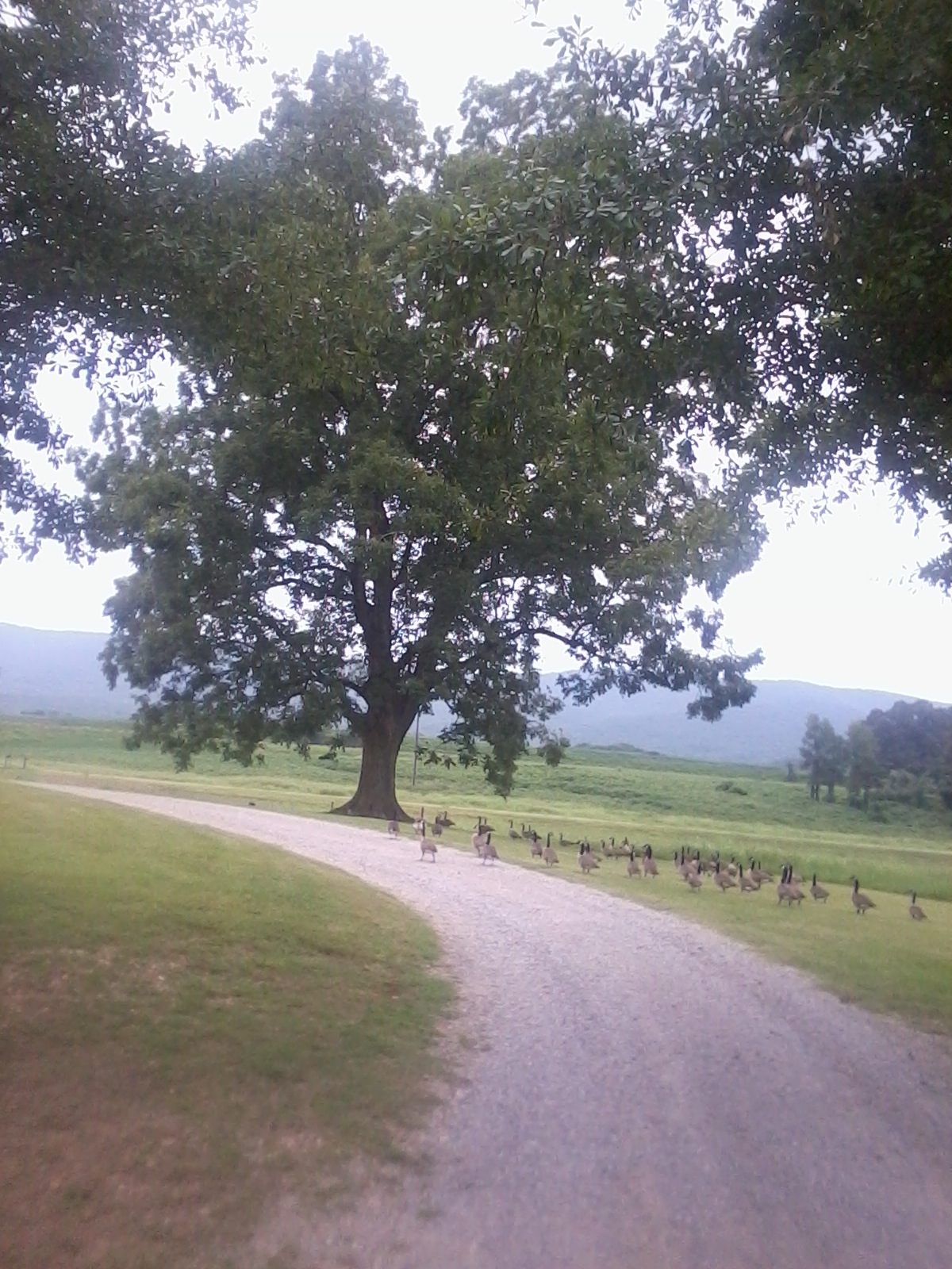
This big old oak tree is a short ways west of Cedartown. There were about 100 geese and one duck hanging out under it.
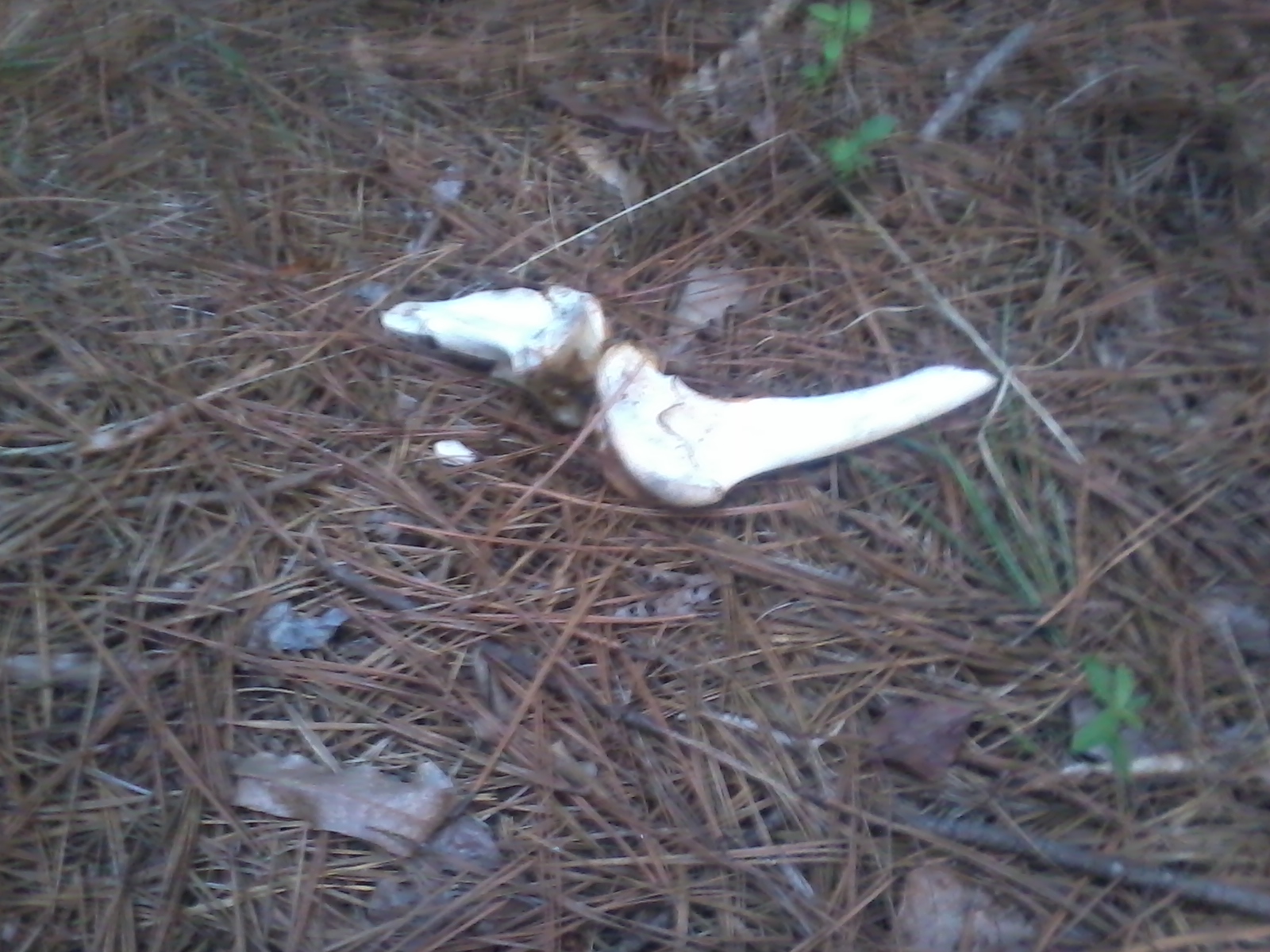
I found these bones near to where I camped the first night.
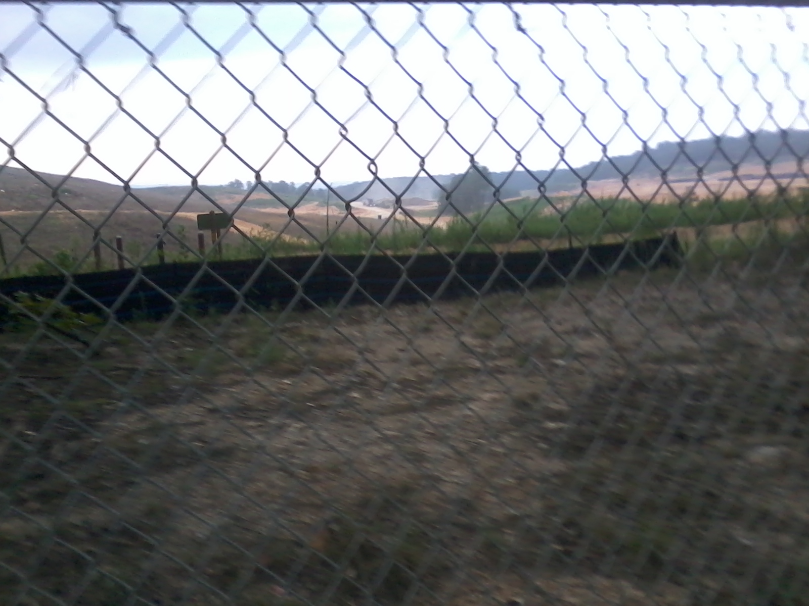
Sunrise over a landfill. There was only one proper hill on the trail and it went right by this landfill.

Camp Comet is between Cedartown, GA and Rockmart, GA about 15 miles east of the Georgia-Alabama border.
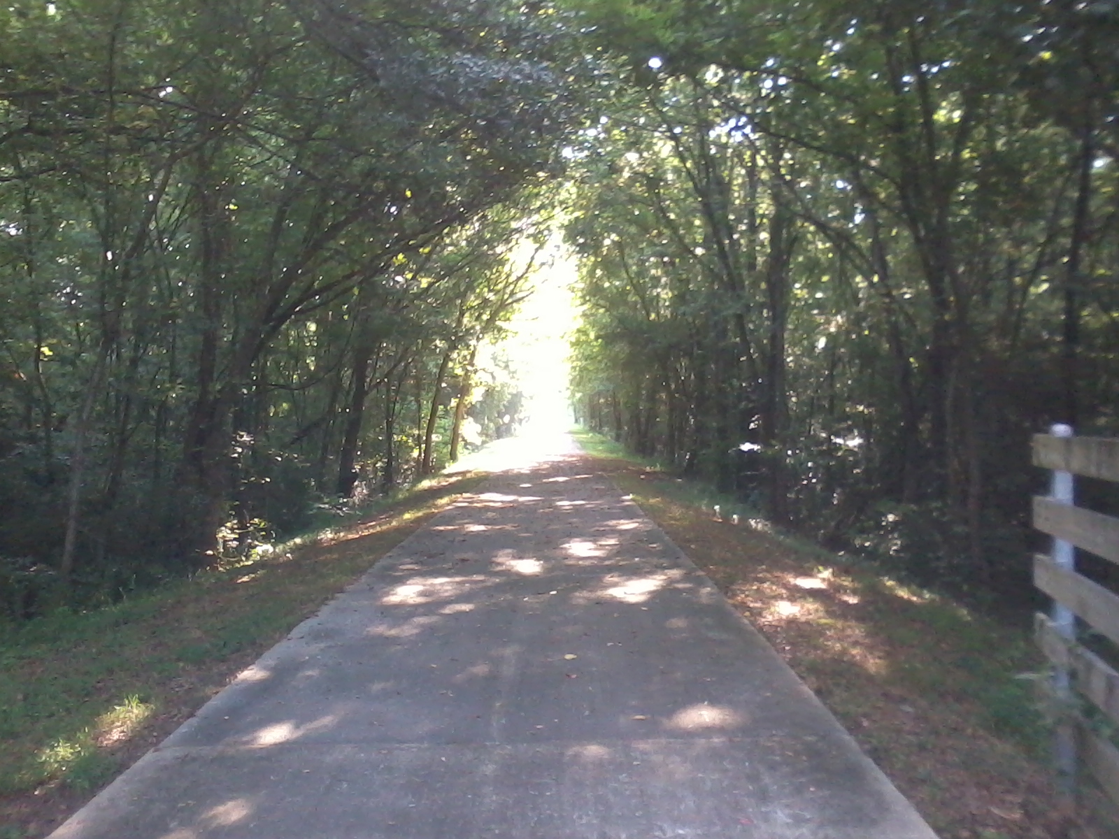
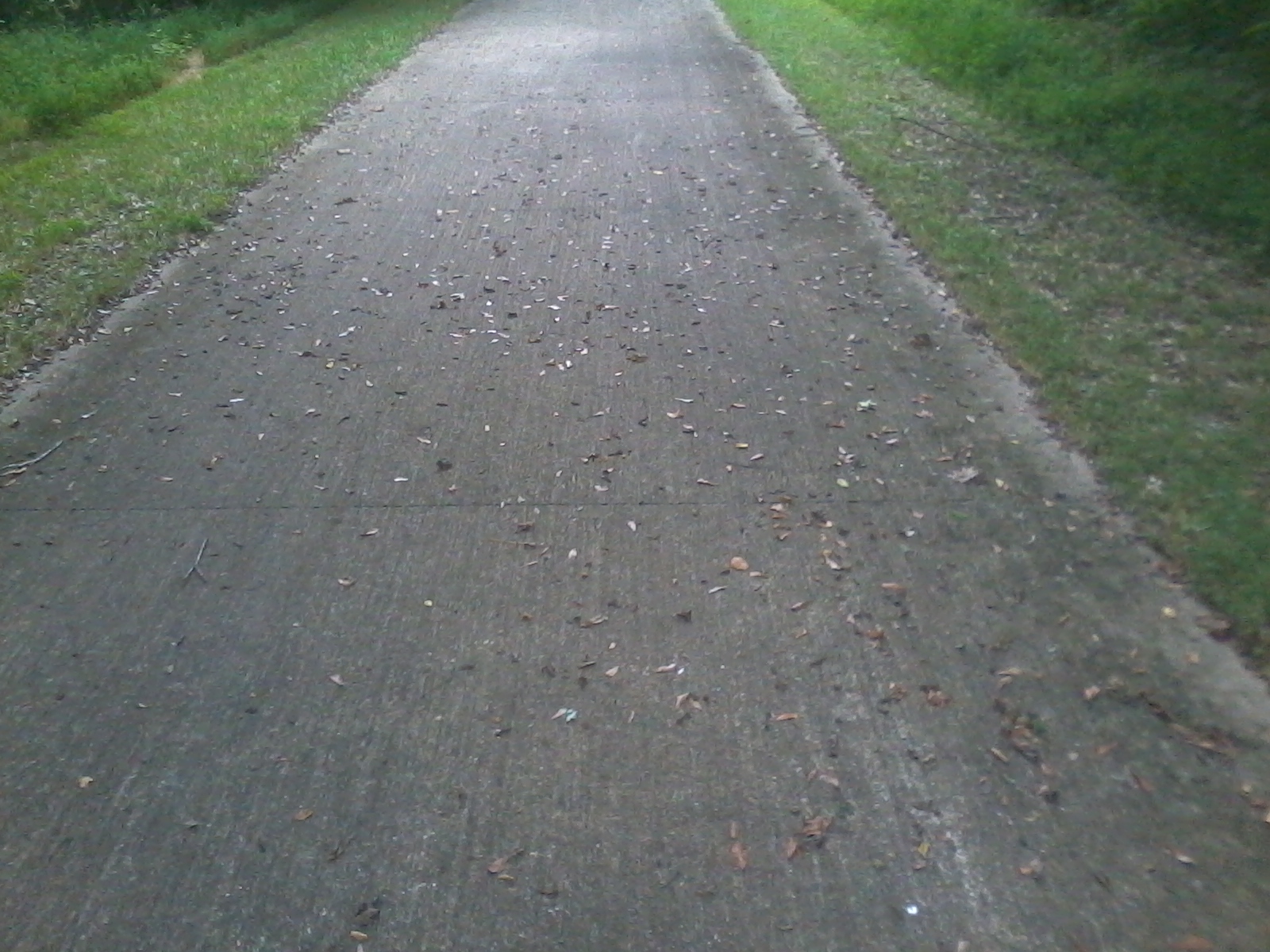
There were several stretches like this where the path was straight for a mile or more. My cell phone camera doesn't really do it justice. This particular view is looking west from a bridge about five miles east of the Georgia-Alabama border.
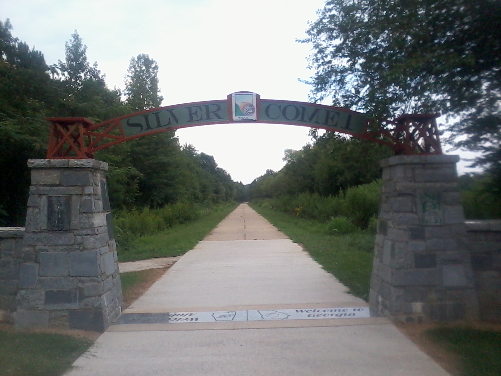

There's a gateway arch on the Goergia-Alabama border where the Silver Comet ends and Chief Ladiga begins. The two trails were joined in August 2008.
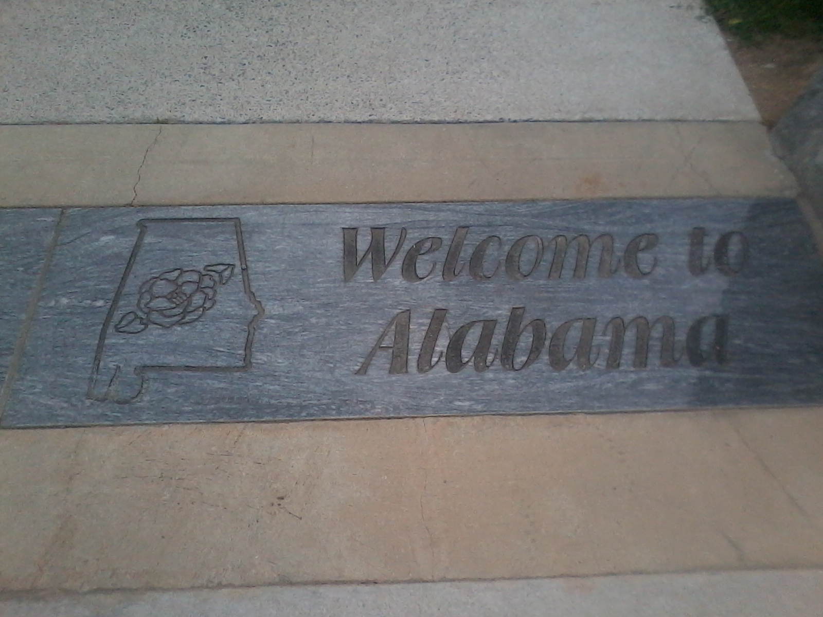
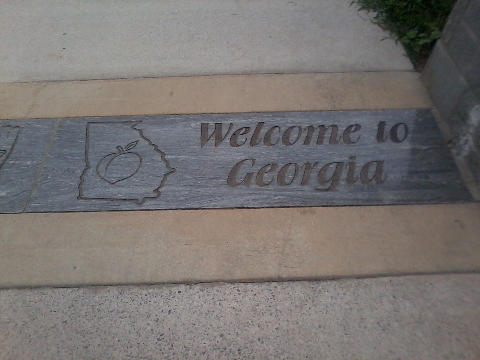
These nifty hunks of granite are under the arch.
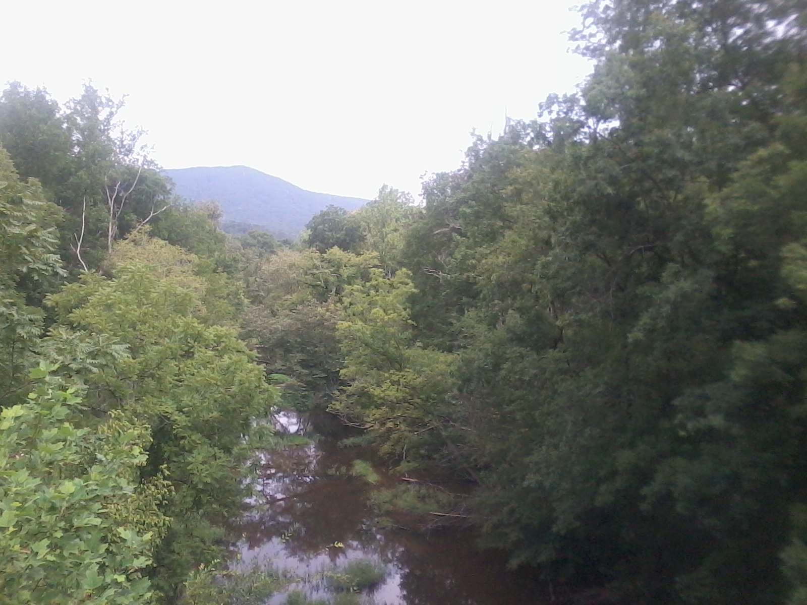
A view of the distant Talladega Mountains taken from a bridge somewhere east of Piedmont, AL. The 335 mile Pinhoti hiking trail joins the Chief Ladiga for a short bit near here. The Pinhoti trail continues into Georgia (by a more northerly route than the Silver Comet) until it reaches the Benton MacKaye Trail west of Springer Mountain (the southern end of the Appalachian Trail).

Piedmont Alabama is the first town in from the Georgia-Alabama border.
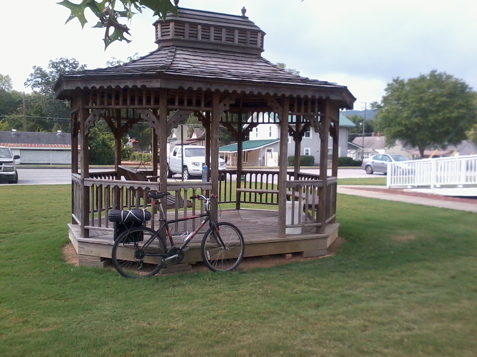
The town of Piedmont had a very nice welcome center and this very nice gazebo.
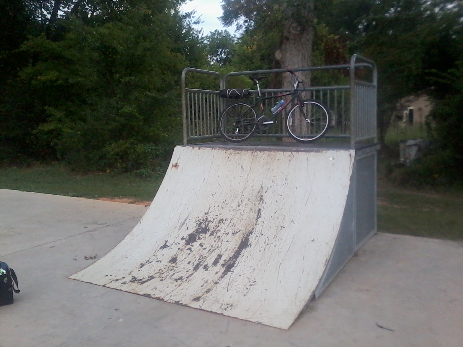
Piedmont has a little skate park by the trail. If I had brought a photographer along you would be seeing a picture of me landing a gnarly flip trick. Oh well.
Jacksonville State University has a disc golf course on campus. Can you spot the target in this picture?
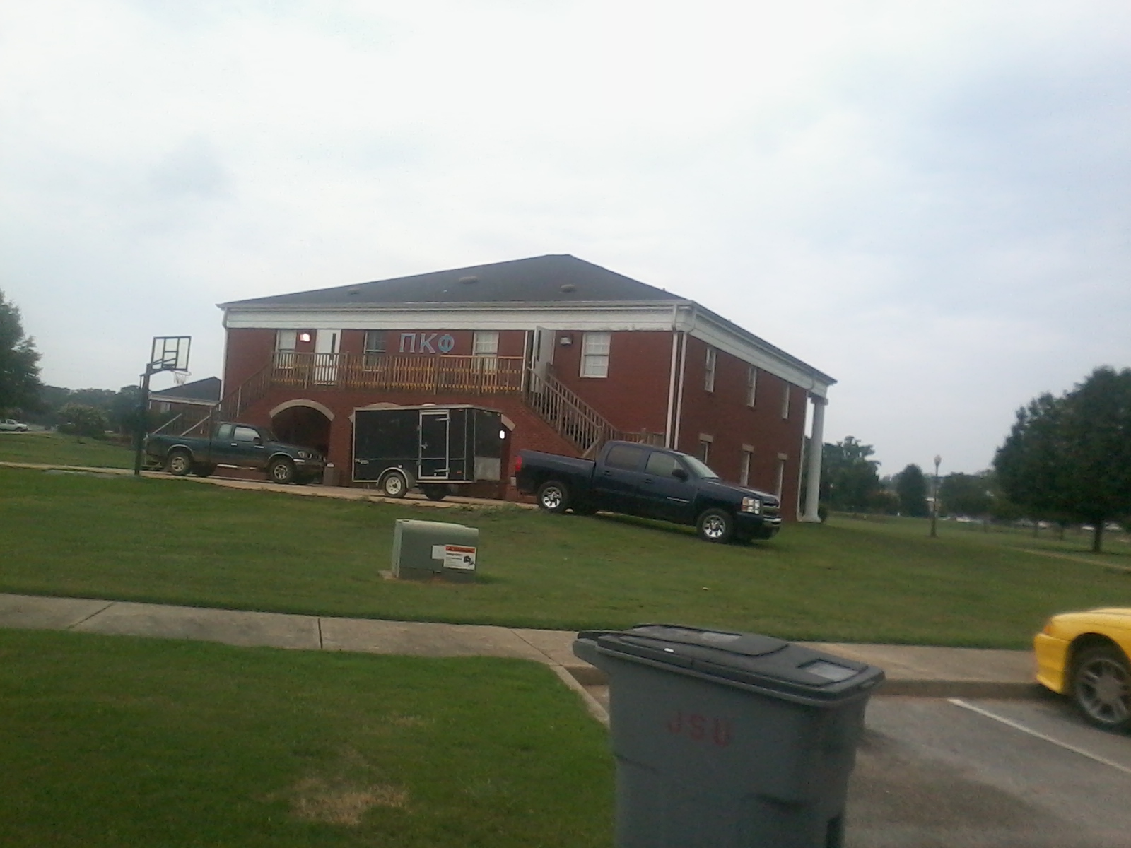
My next door neighbors have a JSU chapter.

My across the street neighbors are also represented.
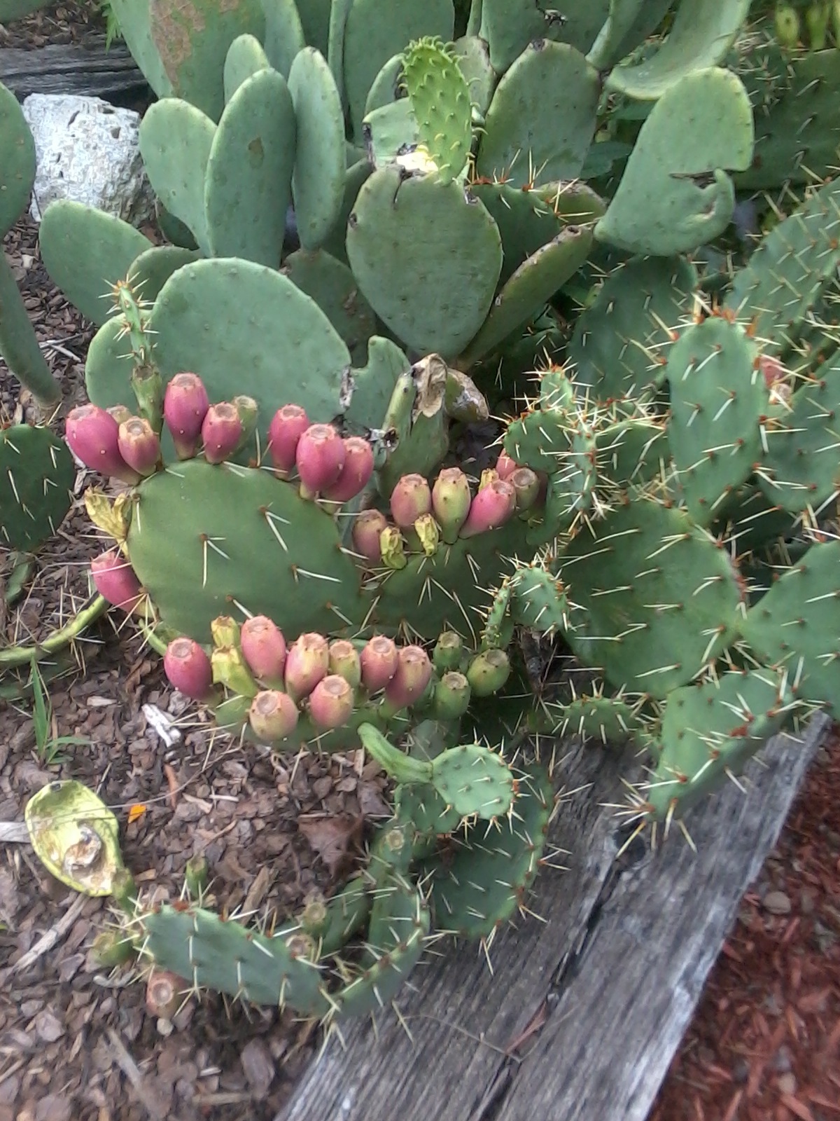
This cactus (and the garden it lives in) is on the edge of the Jacksonville State University campus. Maintained by the Jacksonville Garden Club.
Jacksonville coverted this train depot into an information station. I think it was closed when I went by.
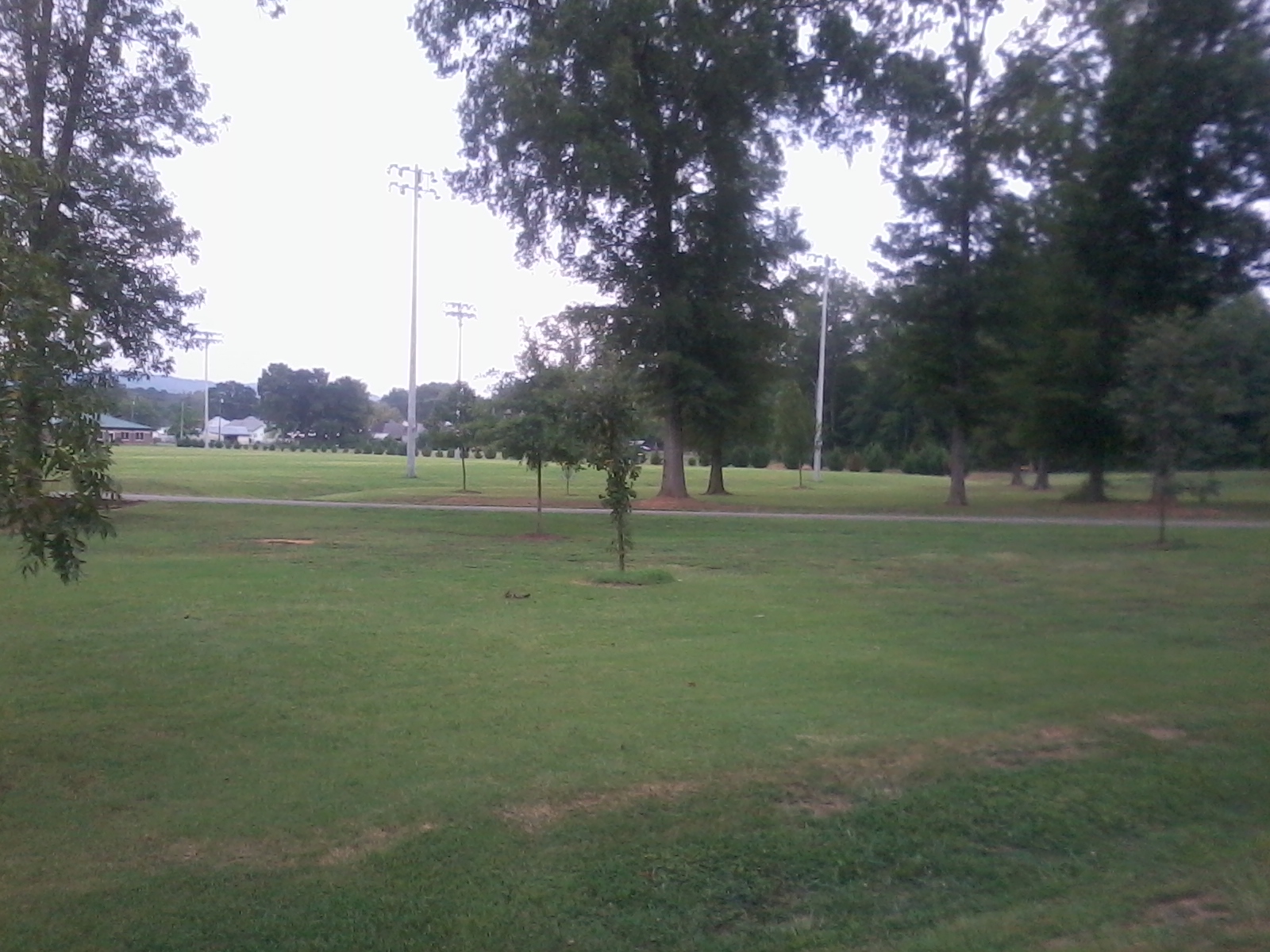
There's a big marshy area south of Jacksonville. I saw a wild turkey by the trail both times I went by here but each time she ran off before I could take a picture. I also saw deer, turtles, rabbits, and a hawk along the trail (all unphotographed).
The red geodesic structure (house? barn?) in the background of this picture is just off the trail to the south of Jacksonville, AL.
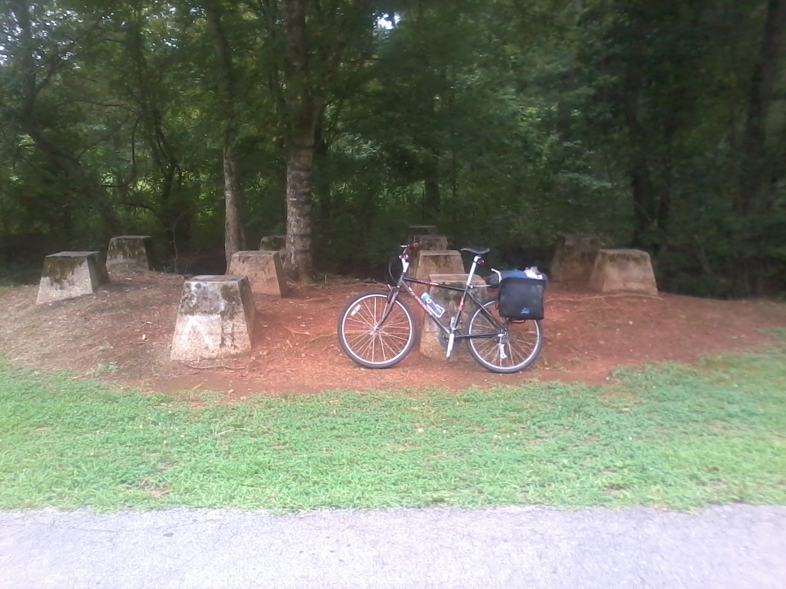
Maybe there used to be a bridge on these concrete footings.

The land between Jacksonville and Anniston is very swampy and had a bunch of these boardwalk style bridges. Very bumpy.
The best part of the trip was crunching leaves. You can pretend it's a precision handling exercise (hit a leaf with only the front or back wheel, hit a series of leaves with both wheels, etc) to avoid feeling silly.
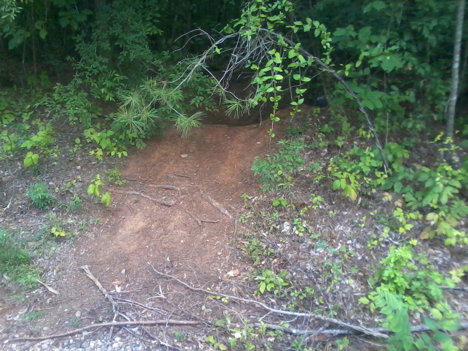
Experiments indicate that a loaded mountain bike with slick tires no longer function as a mountain bike. I wound up doing a really slick backwards wheelie when I tried to go over this berm. This particular side trail is between Jacksonville, AL and Anniston, AL.

The end of the Chief Ladiga Trail at the north edge of Anniston Alabama. The trail runs to this point to the border and is about 33 miles long.

I got caught in a big thunderstorm ten miles from the Silver Comet trailhead on the return trip. Me and a bunch of other people took shelter under this bridge. There was a big spontaneously formed waterfall inundating the path about a quarter mile before the bridge. I got bored waiting for the rain to stop so I didn't stay here for very long. I'd been without a shower for two days and 190 miles at this point so I rather appreciated the rain.